Solved

Creating data from satellite images

  • October 20, 2023
  • 2 replies
  • 656 views

AS-22
Forum|alt.badge.img+1
  • ‎‎ 🌱
  • 3 posts replied to

Hello.
I have recently acquired an education and research standards account.
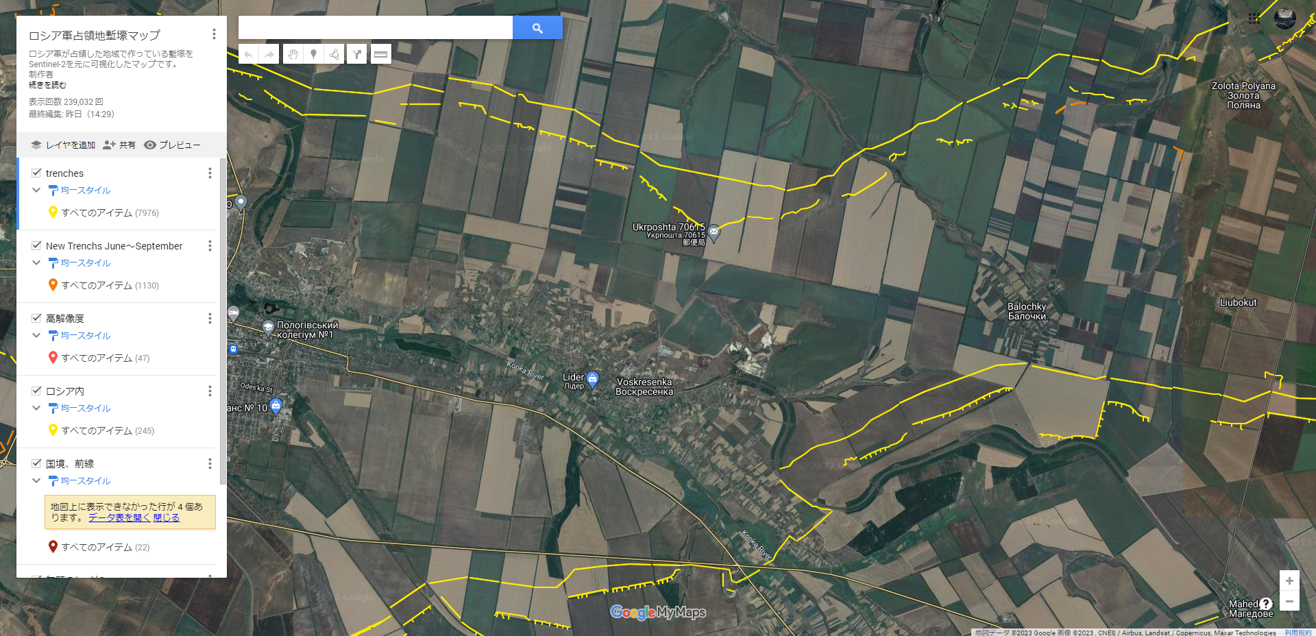
I use this wonderful satellite imagery to study conflicts and wars around the world.
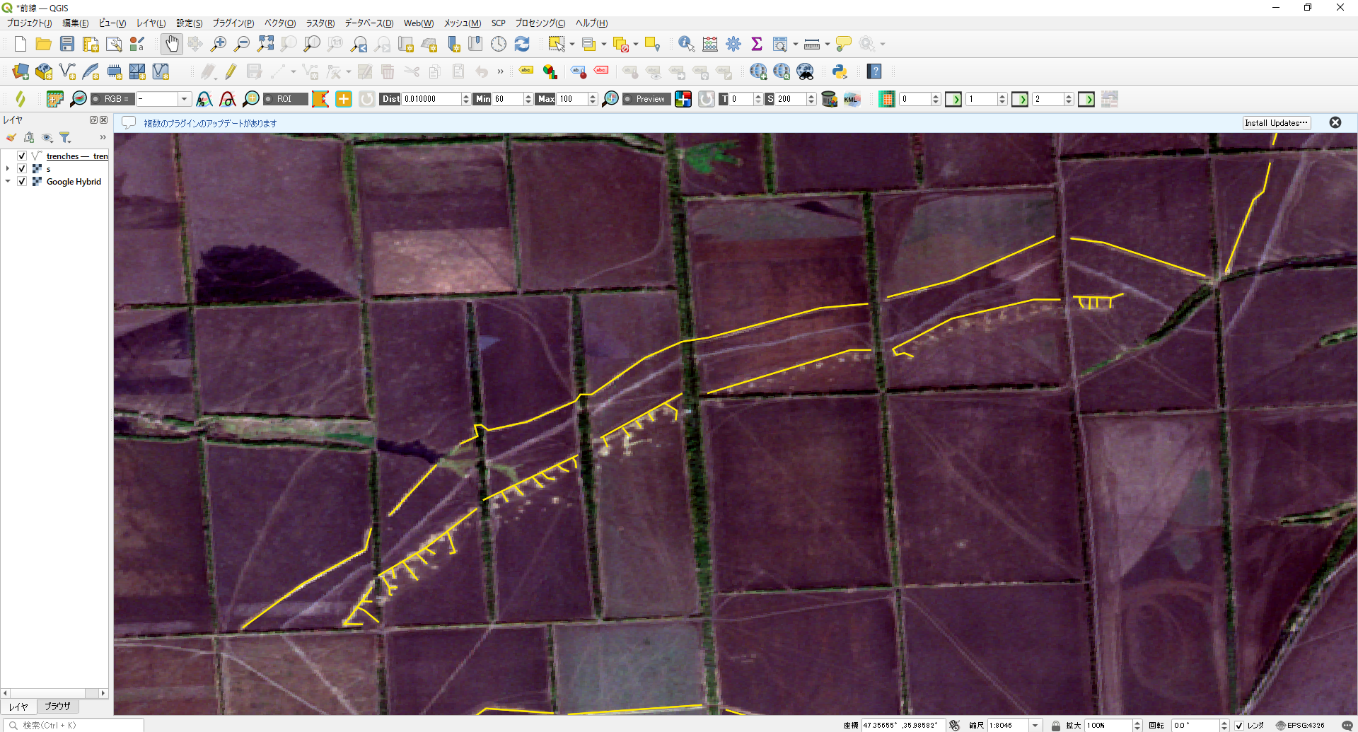
The best example of this is the data file of Russian military trenches in Ukraine.This data is used in many OSINT maps.
I previously created this file based on Sentinel-2 imagery using QGIS and thought the 3 meter resolution would improve the accuracy of the data.
I am trying to download satellite imagery from Basemap and use QGIS to create new data. Is there any possibility of violating the terms and conditions?
I have used translations and read the terms and conditions that might apply, but I do not see any such thing.I have included the actual data and images of the work made using sentinel satellite imagery.

I would appreciate it if you could answer my question.


Best answer by idilgumus

Hello,
As long as the data is strictly being used to support research and the intent is to publish research then it is fine. However, if the plan is to share the derivative directly without intent to publish then it would be in breach. You can find the basic E&R Terms of use here. Let me know if you have any further questions! 

2 replies

idilgumus
Community Manager 🌎
Forum|alt.badge.img+9
  • Community Manager 🌎
  • 71 posts replied to
  • Answer
  • October 31, 2023

Hello,
As long as the data is strictly being used to support research and the intent is to publish research then it is fine. However, if the plan is to share the derivative directly without intent to publish then it would be in breach. You can find the basic E&R Terms of use here. Let me know if you have any further questions! 


AS-22
Forum|alt.badge.img+1
  • Author
  • ‎‎ 🌱
  • 3 posts replied to
  • November 1, 2023

Thank you for your detailed explanation and courteous response!
It was very helpful!