Greetings all,
By my own admission, I am very new at the satellite imagery usage and processing, so I am confused about the image quality (resolution) that I am seeing in the images downloaded.
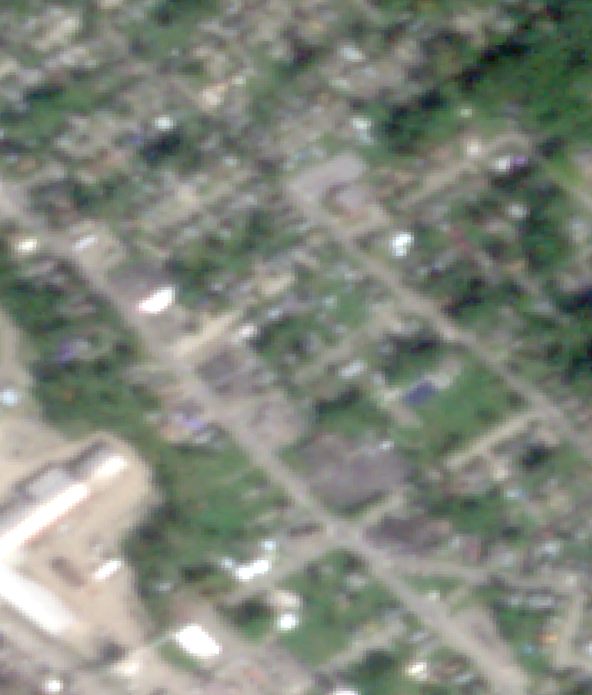
I am downloading a series of images that have a GSD of 3.7m, so this should allow me to resolve an object of about 9m.
When I open the images in ArcGIS Pro, the images are really pixelated, and I cannot even clearly see the outline of houses.
Here are some item IDs that I have downloaded today 20230921_151412_22_242d, 20230820_155500_02_247d, 20230705_150612_29_2420, 20230530_151402_74_24cc, 20230403_150804_41_2431, 20230723_150707_37_2460
And here is a sample of the images I see on my screen, viewed at a resolution of 1:3,672. Heck, I get better resolution from Google Maps imagery (but not the 8 band spectra) like the Planet images have.
Do you know what I am doing wrong?