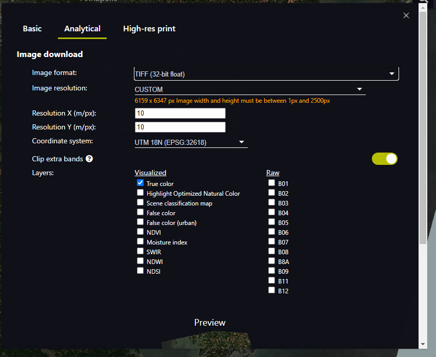
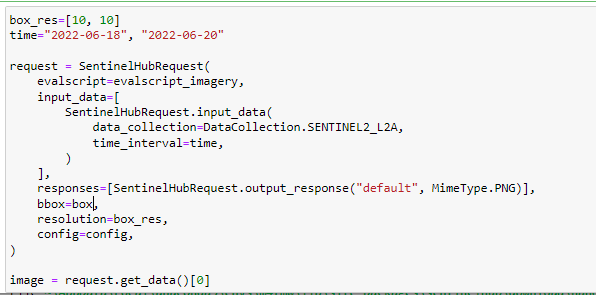
I am trying to download Sentinel-2 L2A imagery from 6/19/2022 over the Chesapeake Bay at the 10m scale, including all 12 bands. When I put in this information, the download button is greyed out (see attached screenshot). I tried limited my extent to just Dorchester county, but the issue persisted. It seems that the imagery cannot be downloaded at the 10m resolution for this extent – is that correct? If so, how would you suggest access the data for my entire study area?