Hi,
many thanks for the Python-API: GitHub - sentinel-hub/sentinelhub-py: Download and process satellite imagery in Python using Sentinel Hub services.
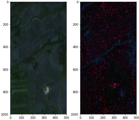
I noticed that S-1 images are not superimposed with S-2 images. Have a look at the following example (which is representative for many cases):
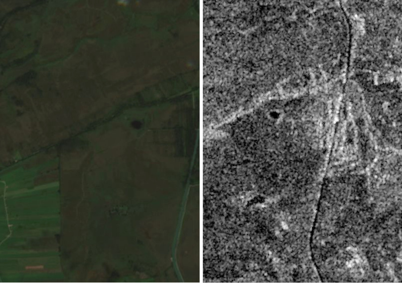
It is the case for most of the S-1 images from different regions and during a large period of time.
Do you know the reason for that?
Many thanks
s.