Good morning everyone,
I’m a new user, sorry for my english.
I am an independent archaeologist.
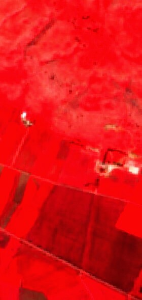
Could someone help me with the satellite images? I joined this forum, it was recommended to me by the Sentinel Team, as I was looking for an infrared image, the one I downloaded from the portal, is NOT High Definition.
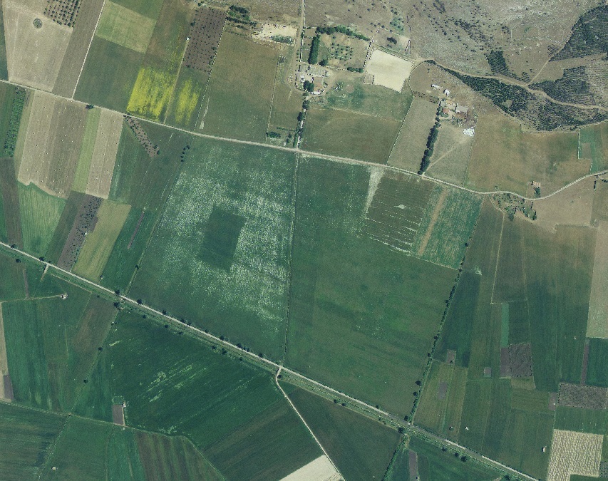
I tell you this because I discovered, through Google Earth, an anomaly in the terrain that would suggest an ancient structure, perhaps a Roman Domus or something else.
I need infrared images or multispectral satellite images to better understand the nature of the terrain anomaly.
I report the coordinates of the anomaly and I ask you forum users for help.
this is the anomaly observed from an aerial photo - April 2008 altitude 6000 meters

Immagini satellitari multispettrali
Login to the Planet community
No account yet? Create an account
Login with Planet Account
Login With Planet AccountEnter your E-mail address. We'll send you an e-mail with instructions to reset your password.
© 2026 Planet Labs PBC. All rights reserved.
| Privacy Policy | California Privacy Notice |California Do Not Sell
Your Privacy Choices | Cookie Notice | Terms of Use | Sitemap
