Hi Sinergise,
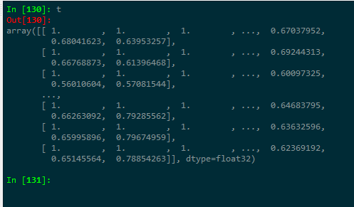
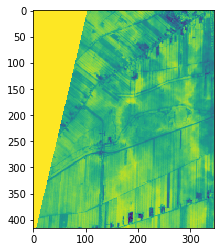
while using your WCS-request via Python to produce NDVI images, I got an image at an orbit boundary, as you can see in the images I attached. However, the nodata-value is 1, which is similar to the maximum possible NDVI.
I was wondering, if it is possible to define the nodata values either in the JS-code of the layer (within the WMS-Configurator) or within the Python-WCS-Request as a parameter.
Greetings,
Johannes