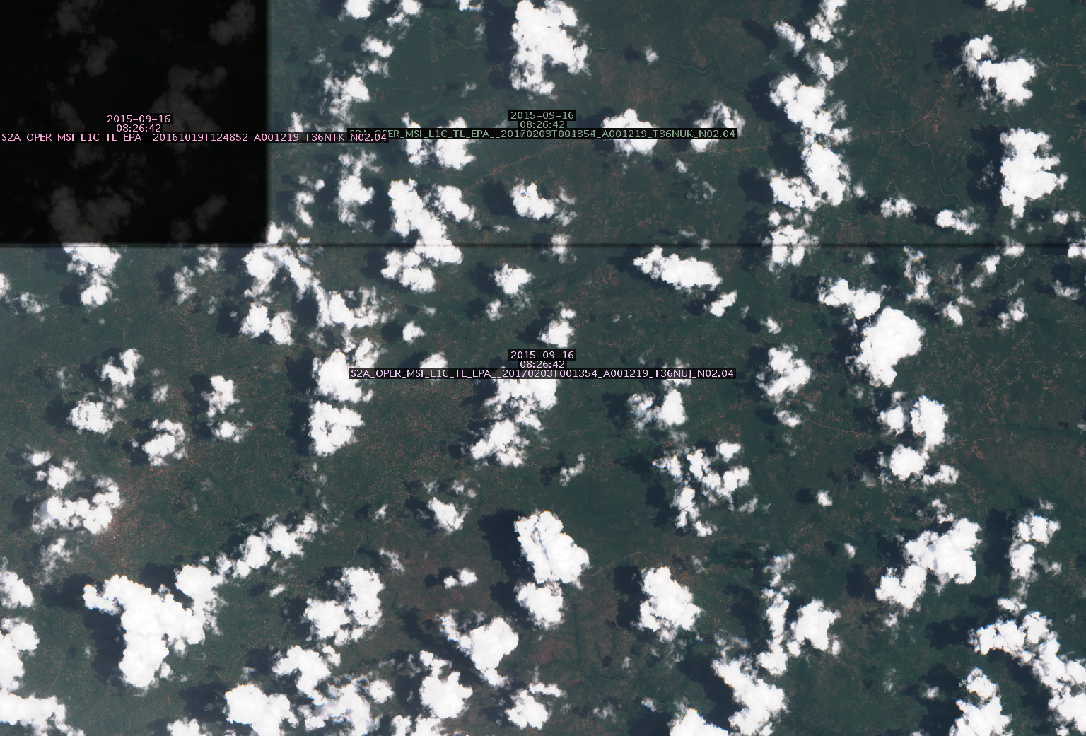
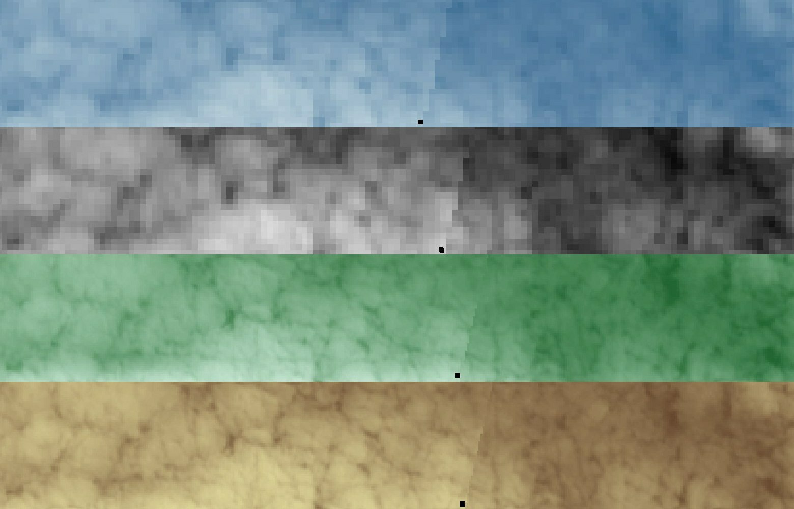
I have created a test configuration, based on Python scripts template, containing several indices, either pre-defined by SH or defined by myself. When I execute the WCS request to retrieve those indices over some area in Uganda, in some occasions the resulting images contain unwanted artefacts!
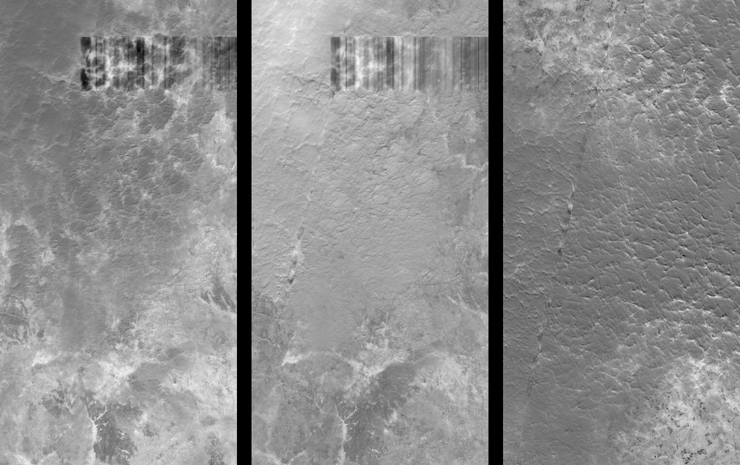
Artefact are either:
- ‘thin diagonal polygons’ of width 200-400 m, aligned with the orbit direction, i.e. direction of scanning (note: I am not discussing here the “seam”, the border-line between the two images, which is just a line); or
- ‘rectangular polygons’ parallel to the tile geometry in UTM reference system.
Therefore I suppose the issue has to be connected with mosaicking. I use mosaic order “Most recent” in all cases.
To be on the sure side I have checked also the original satellite images available on the Copernicus SciHub. Neither of the problematic images displays any artefacts or missing data (however, the seam-line is there!) in their original form.
Any suggestions how can I avoid these artefacts?